Author Description
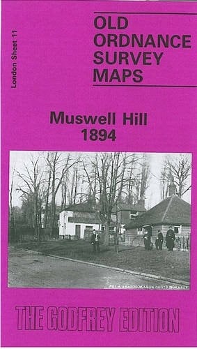
Detailed map of Muswell Hill; London sheet 11. Historical introduction by Ian Murray. We have published just the one version of this map so far. The principal emphasis of the map is the Muswell Hill area, a suburb that developed quite late and was still semi-rural in 1894. Features here include St James's church, Muswell Hill station, Mus Well, and a lot of good sized villas. However the map also extends to cover neighbouring part of the Alexandra Palace in the NE corner; part of Crouch End in the SE; Imperial Park to the south, and beyond that Highgate Woods; a small section of Highgate in the SW corner, including the Museum of Sanitary Appliances; and Fortis Green, including All Saints church, to the west. Railway interest is covered with almost the whole of the GNR Alexandra Park branch. On the reverse are street directories for Fortis Green Rd, Muswell Hill, and Muswell Hill Rd.
Page Count:
0
Publication Date:
1981-12-31
ISBN-10:
0850540062
ISBN-13:
9780850540062
Community Tags
Reader Comments
Share Your Thoughts
No comments yet. Be the first to share your thoughts!