Author Description
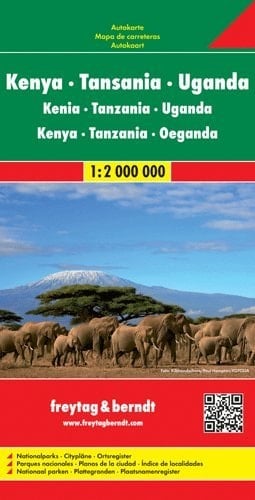
Kenya, Tanzania, Uganda, Rwanda & Burundi (Africa East) 1:2,000,000 Travel Map with city plans FREYTAG 2012 edition Large size, boldly presented map, with hill shading and geographical features such as deserts, lava areas, marshes and swamps, salt lakes, etc. Road network includes seasonal roads and tracks, intermediate driving distances, plus petrol station and car repair facilities. Railways, ferry services and local aerodromes are also shown. National parks are brightly coloured, and other information of interest to visitors is provided, including various types of accommodation. The map also has plans of central Nairobi, Kampala, Dodoma, Dar Es Salaam, Kigali and Bujumbura. Latitude and longitude are marked at 1º intervals. Map legend includes English. The whole map is printed on one side of the sheet (size 120 x 87 cm / 47 x 34 in.). A comprehensive place name index is on reverse.
Page Count:
2
Publication Date:
1988-12-01
ISBN-10:
3889897495
ISBN-13:
9783889897497
Community Tags
Reader Comments
Share Your Thoughts
No comments yet. Be the first to share your thoughts!