Author Description
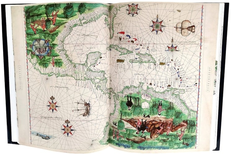
World atlas containing 15 nautical charts, tables of declinations, etc. Probably made in Dieppe, France either by a Portuguese cartographer or based on a Portuguese prototype, judging from the Portuguese influence on the geographical names. Nicolas Vallard de Dieppe was probably the first owner. Sir Thomas Phillipps also owned the original atlas. The charts include: Terra Java [east coast of Australia?] -- La Java [north coast of Australia?, East Indies and part of Asia] -- Terra Java [west coast of Australia?] -- [Arabian Sea, Red Sea, and Persian Gulf] -- [Southern Africa and southwest Indian Ocean] -- [Atlantic Ocean with the coast of Africa and Brazil] -- [Northwest Africa] -- [Europe and northern Africa] -- [North America and Canada, east coast] -- [West Indies, Mexico, Central America and northern South America] -- [Northeastern South America] -- [Southeastern South America and Straits of Magellan] -- [Western Europe and northwestern Africa] -- [Adriatic Sea] -- [Aegean Sea].
Page Count:
240
Publication Date:
2010-01-01
ISBN-10:
8496400492
ISBN-13:
9788496400498