Author Description
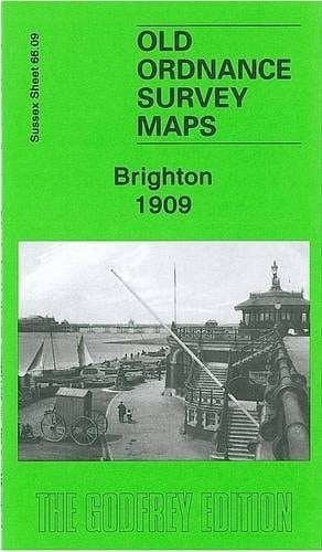
Sussex Sheet 66.09 Brighton 1909 - published 2007; intro by Alan Godfrey. This detailed map covers much of central and west Brighton, together with a large part of Hove. Coverage stretches from Old Steine and Grand Parade westward to Second Avenue and Wilbury Road, and from Old Shoreham Road southward to the seafront. This is a very busy map with much of interest. Major features include the station, engine shed, locomotive and carriage works, Holland Road Halt, and railway lines and tramways; St Nicholas church, St Peter's church, Hotel Metropole, Grand Hotel, Bedford Hotel, part of West Pier, Brunswick Lawns, Adelaide Crescent, Brunswick Square, Regency Square, Montpelier Crescent, St Anns Wells Gardens, All Saints church Hove, cricket ground, St Thomas church, The Wick, Wick Hall, Gloucester Place, Royal Pavilion, The Lanes (not all named), Dome, and much more. On the reverse we include street directory entries for Brunswick Place, Kings Road, Western Road.
Page Count:
0
Publication Date:
2008-08-01
ISBN-10:
184784085X
ISBN-13:
9781847840851
Community Tags
Reader Comments
Share Your Thoughts
No comments yet. Be the first to share your thoughts!