Author Description
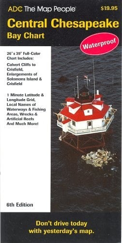
Laminated navigational chart depicting the Chesapeake Bay from Calvert Cliffs to Crisfield. Includes Loran-C, X & Y LOP's 1 Minute Latitude & Longitude Grid, local names of waterways and fishing areas, artificial reefs, wrecks and more.
Page Count:
0
Publication Date:
2005-03-01
ISBN-10:
0875306594
ISBN-13:
9780875306599
Community Tags
Reader Comments
Share Your Thoughts
No comments yet. Be the first to share your thoughts!