Author Description
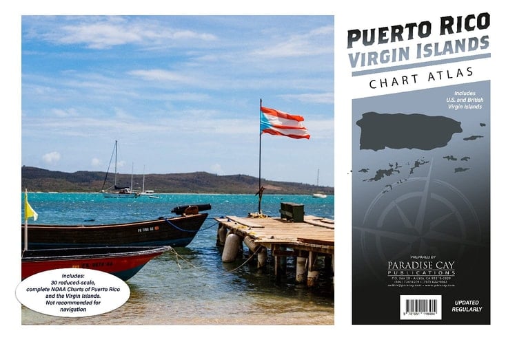
30 reduced-scale complete NOAA charts of Puerto Rico and the U.S. Virgin Islands. Also includes most of the British Virgin Islands. Spiral-bound in a large format (12x18") booklet. Printed on high-quality paper and updated regularly. Not recommended for navigation, but handy for reference and planning. Each chart atlas includes a map key at the beginning which helps you locate the charts inside. Charts are organized numerically by chart number Easy-to-read map grid clearly indicates each chart's area of coverage Includes the following NOAA charts: 25640 25641 25644 25645 25647 25649 25650 25653 25644 25655 25659 25661 25663 25664 25665 25666 25667 25668 25669 25670 25671 25673 25675 25677 25679 25681 25683 25685 25687 25689
Page Count:
0
Publication Date:
2021-07-02
ISBN-10:
1951116488
ISBN-13:
9781951116484
Community Tags
Reader Comments
Share Your Thoughts
No comments yet. Be the first to share your thoughts!